Erris Galleries
The Barony of Erris is situated on the north west corner of Mayo. It is bordered by Broadhaven Bay on the north west corner, Blacksod Bay on the south west corner with the wild Atlantic due west with the rest of Mayo to the east. Lanmdwards, it stretches from Blacksod at the end of the Mullet Penninsula on the west to Corick Bridge on the East and from the seaside village of Portacloy on the North to Innisbiggle on the south. Most of Erris is included in map number 22 of the Ordinance Survey of Ireland Discovery Series of maps.
Erris has varied scenery including majestic cliffs and wind swept coasts; miles of almost deserted white sandy clean beaches (two of which - Elly and Mullaghroe have Blue Flag status); uninhabited islands, and of course the largest area of blanketed bog in Europe.
The galleries below give a small taste of what lies in store for the visitor to Erris. Certainly, this is a place worth a visit.
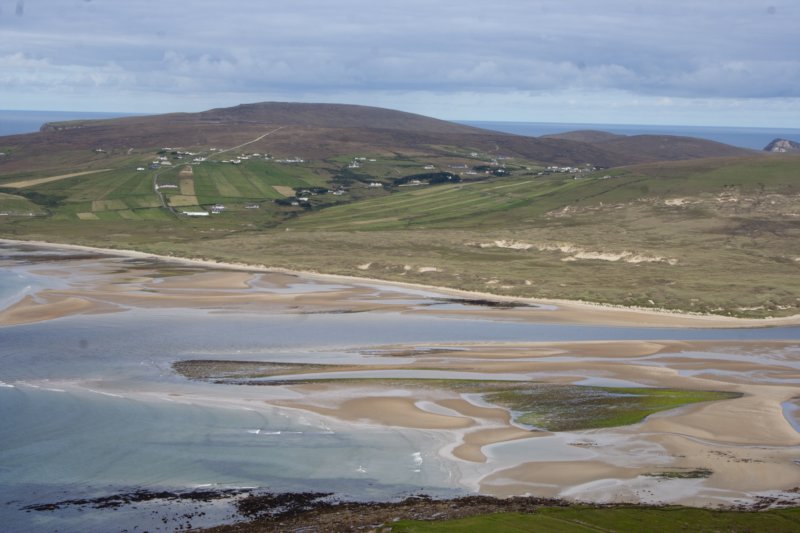
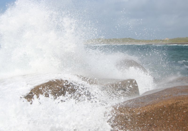 Annagh Head
 Ballyglass
 Bangor Erris
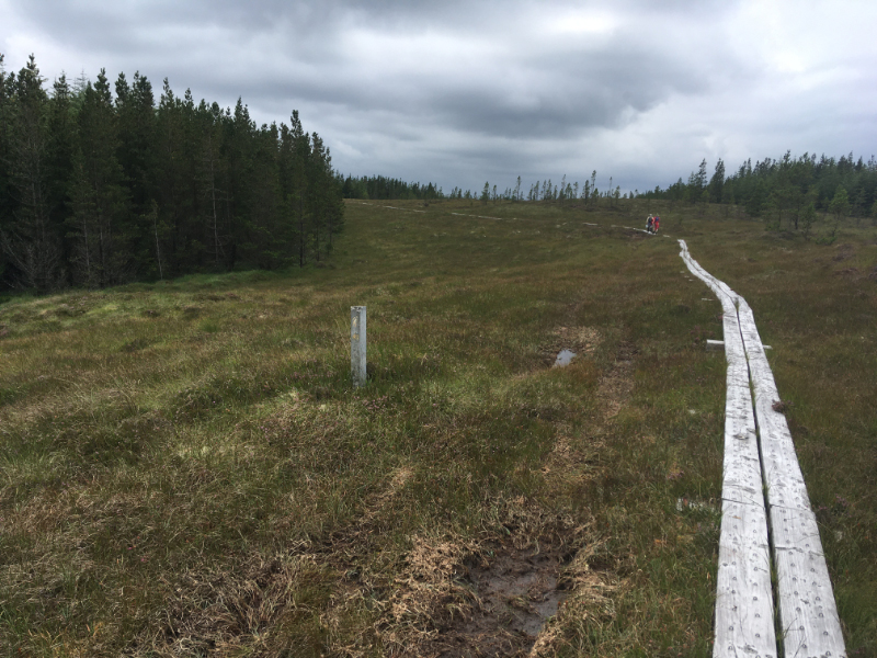
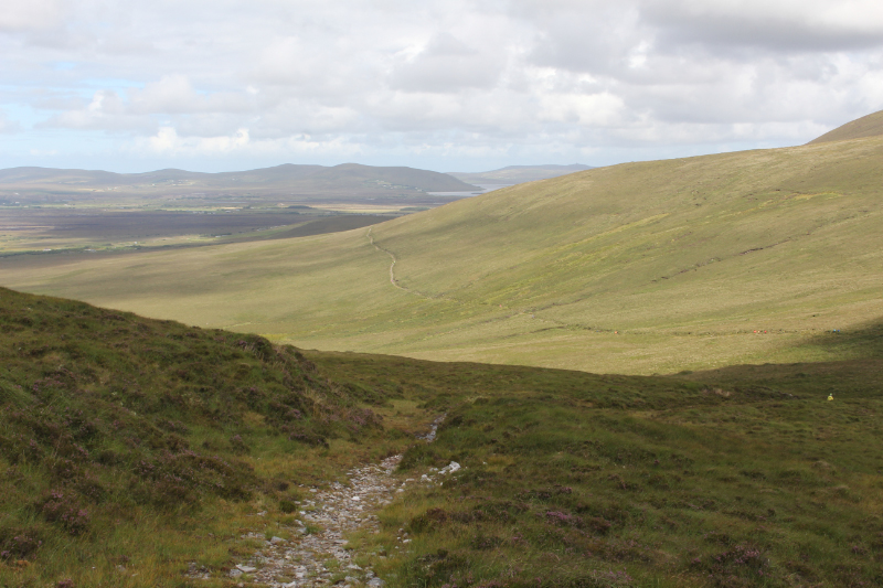 Bangor Trail
 Belmullet
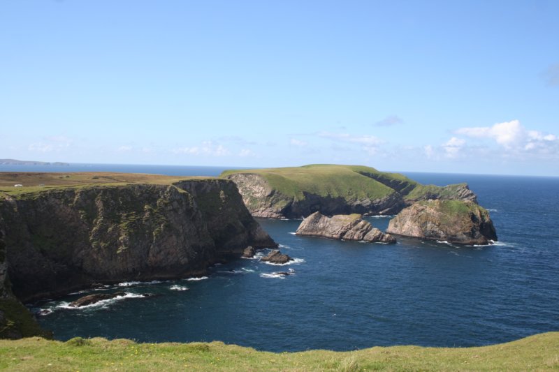
 Benwee Loop
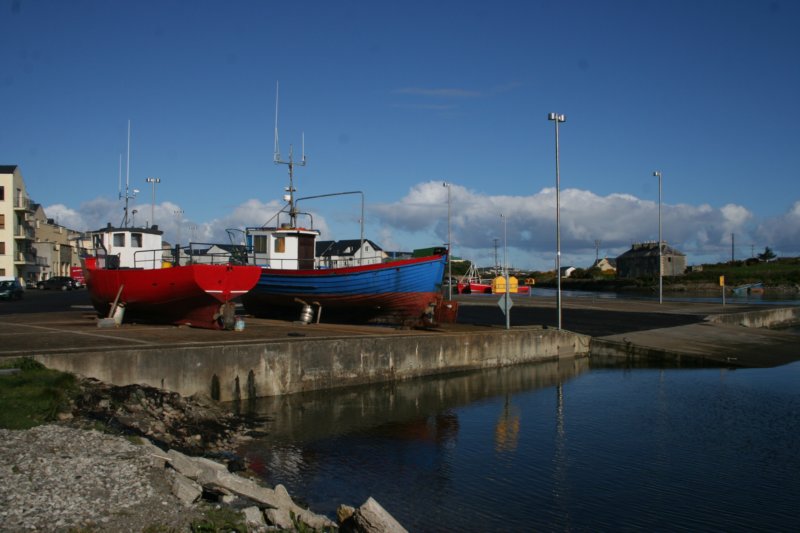
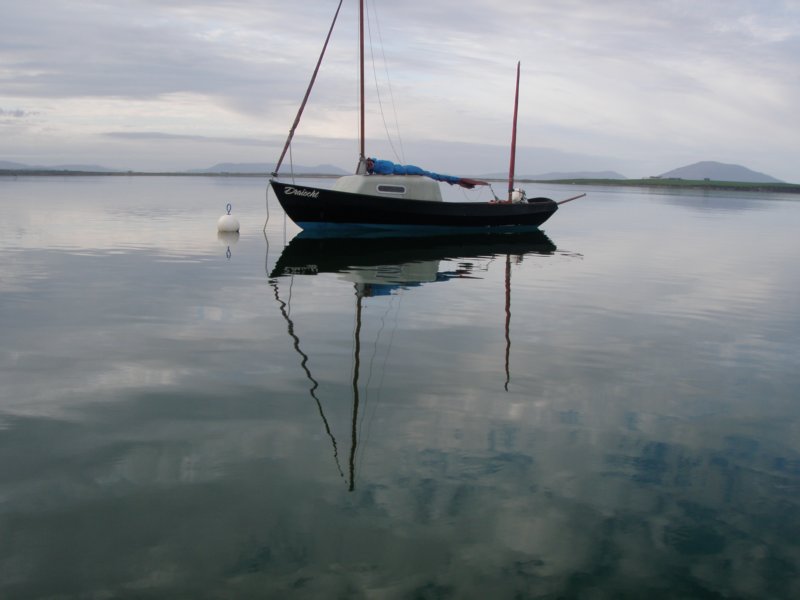
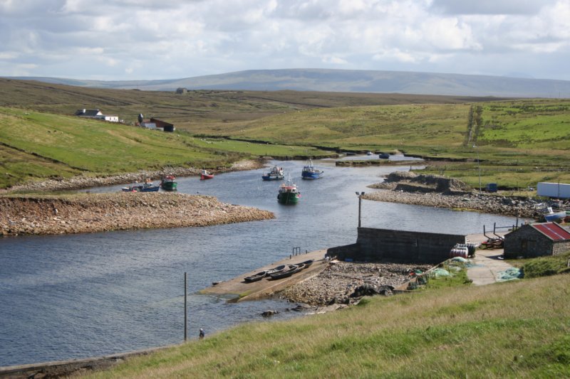
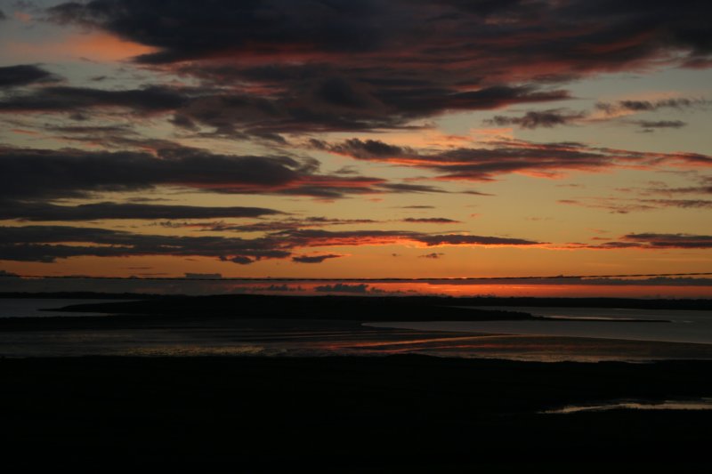
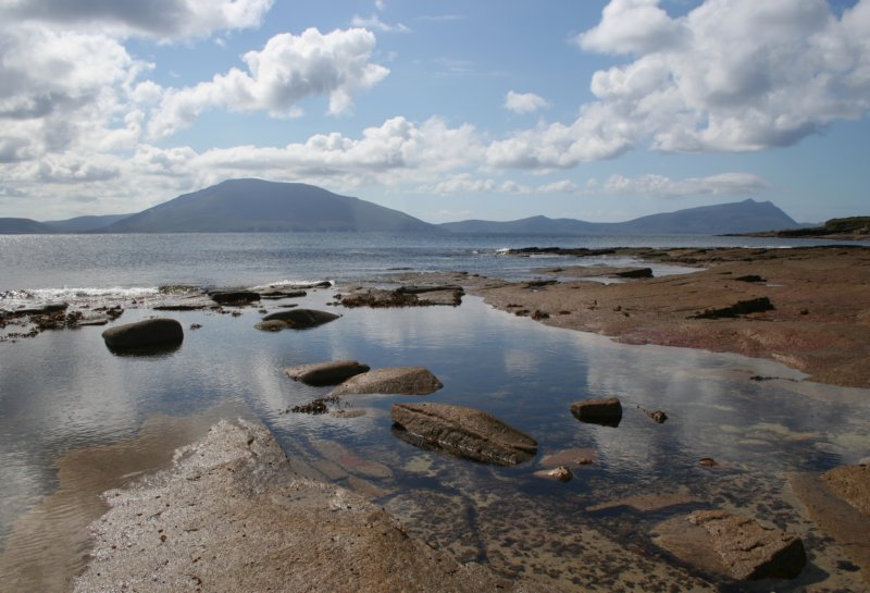 Blacksod
 Carrowteigue
 Carrowmore Lake
 Cross
Cross
 Cross Lake Loop Walk
 Cross Lake
 Caibin
 Corclough East
 Dunnamoe
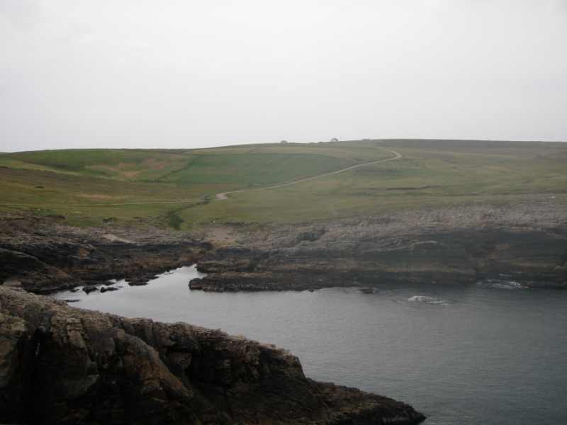 Dunnamoe to Erris Head
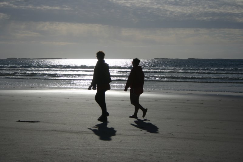 Elly Bay
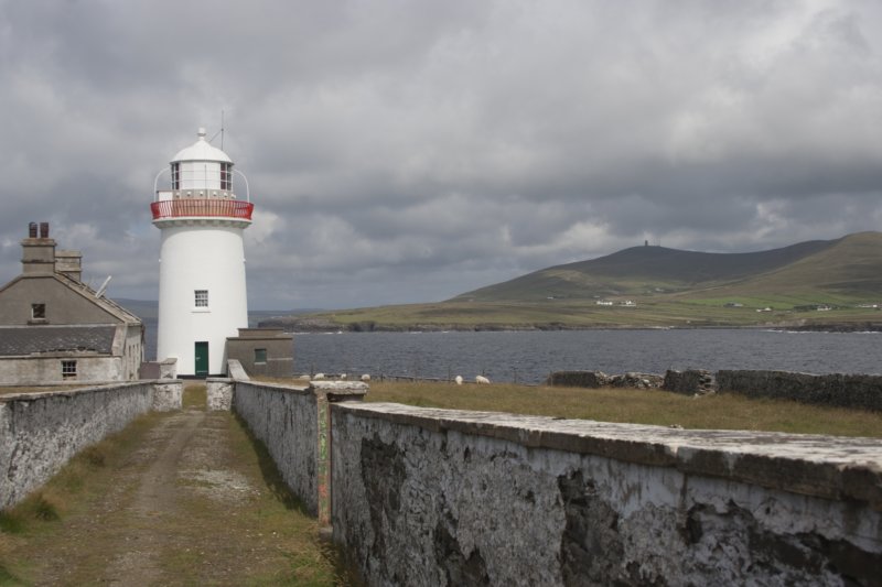
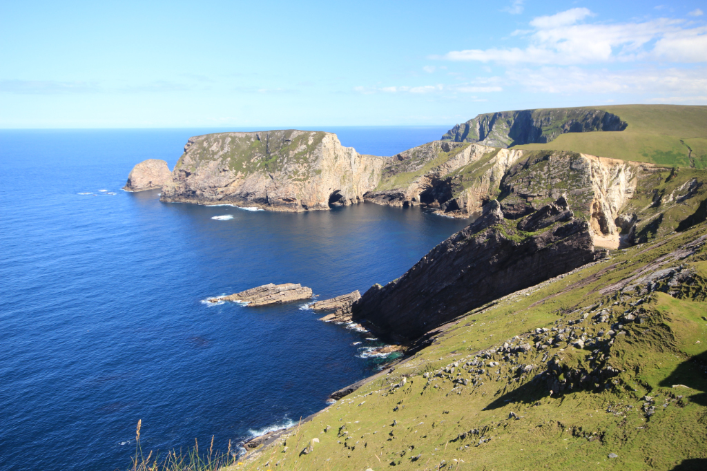
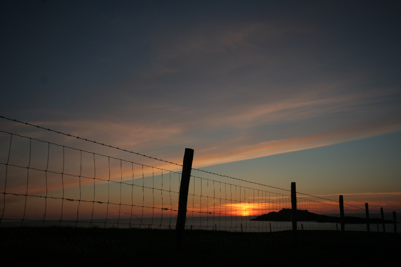
 Erris Head
 Fallmore
 Frenchport
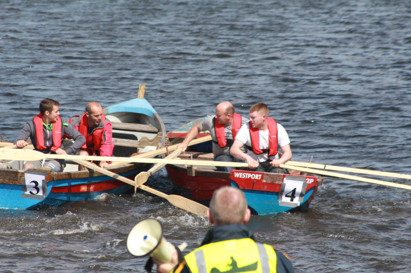 Geesala Boat Races
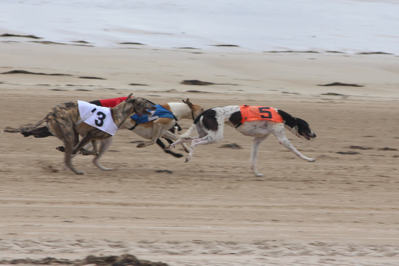 Geesala Dog Races
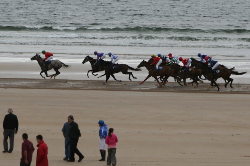 Geesala Horse Races
 Glencalry to Sheskin
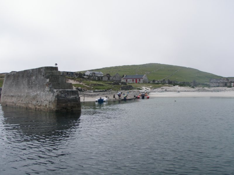 Innishkea
 Porturlin
 Rinnrow
 Scotchport
 Shraigh
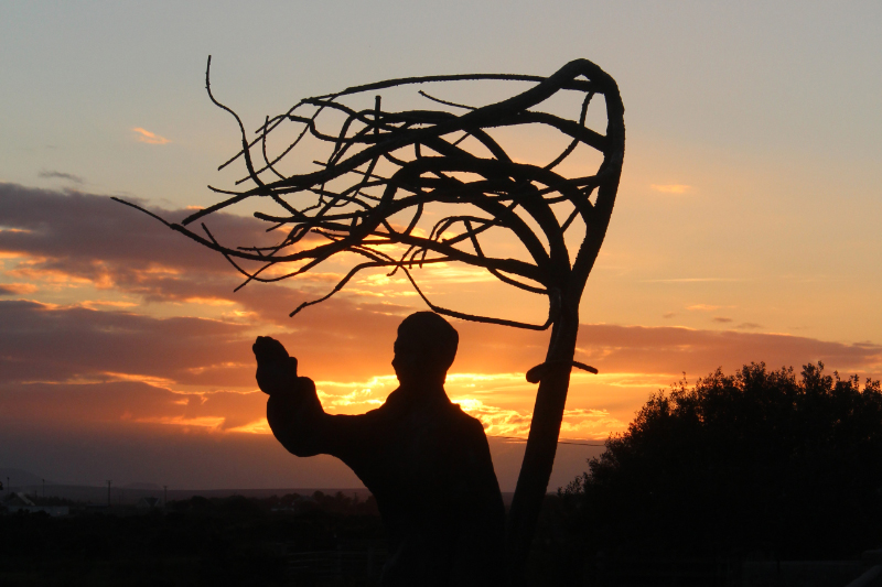
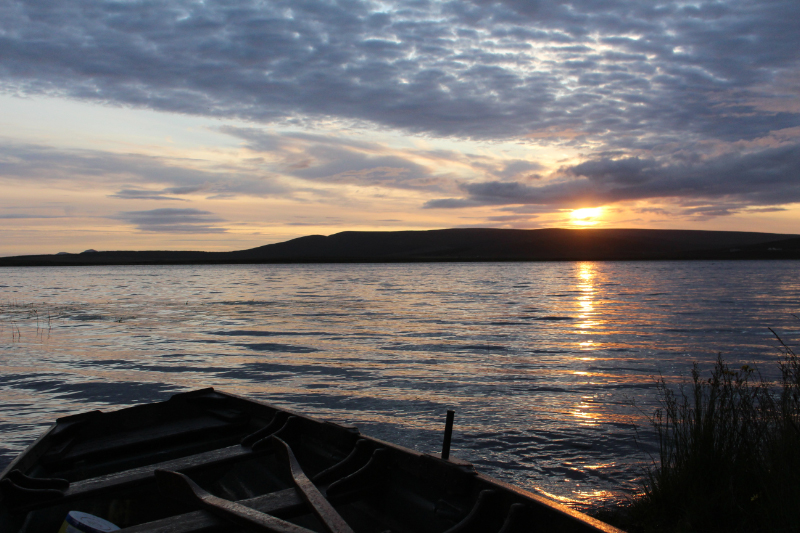
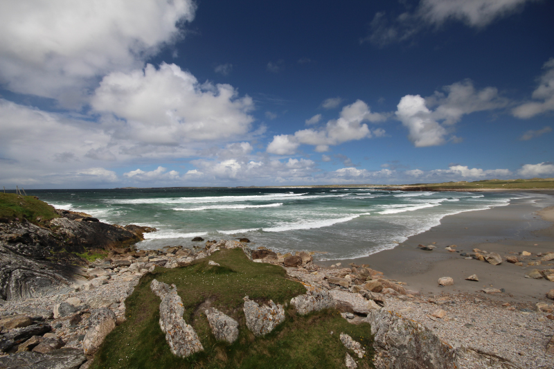
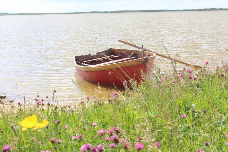
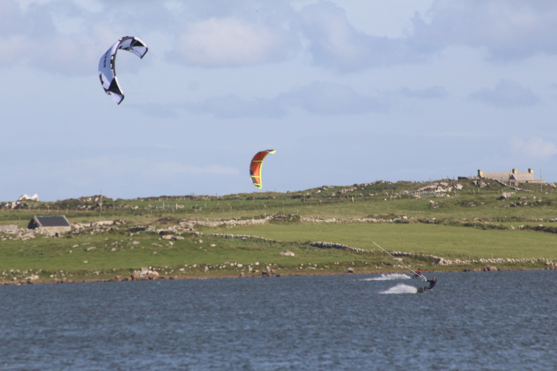
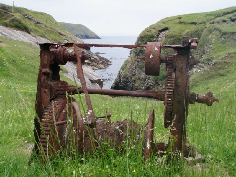
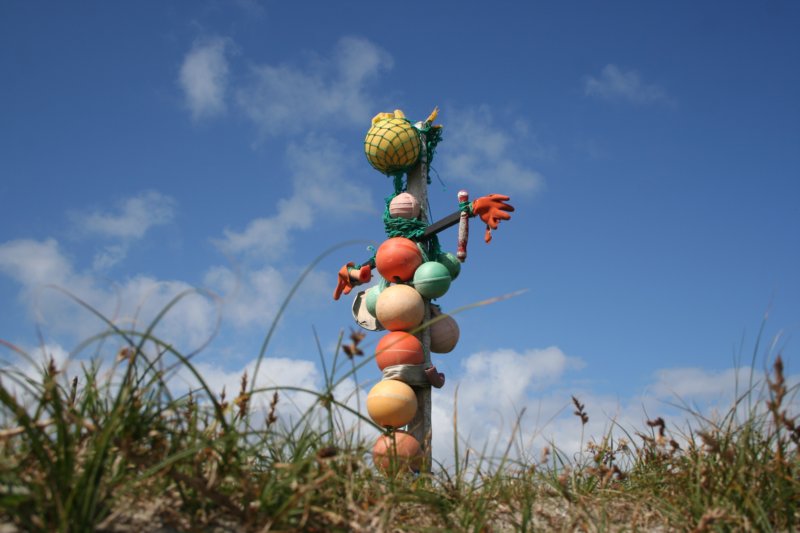
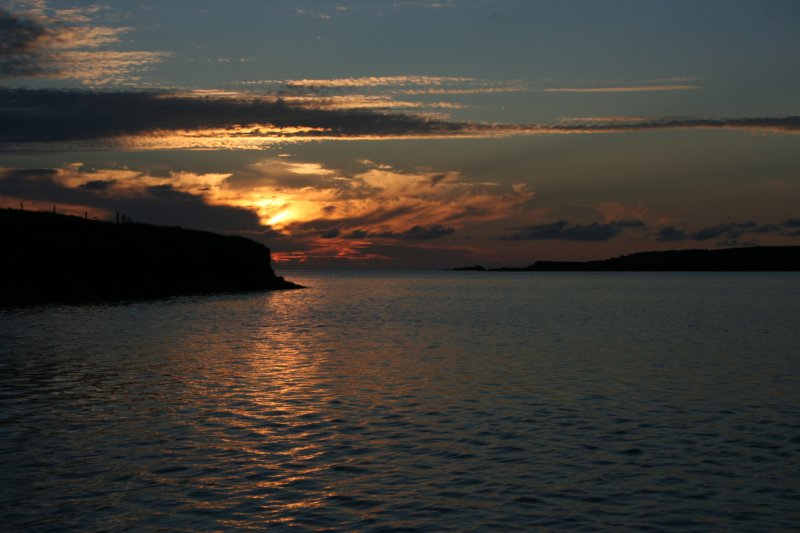
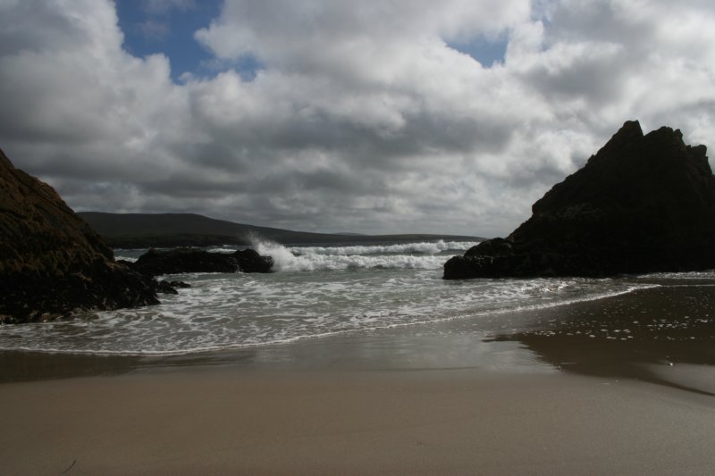
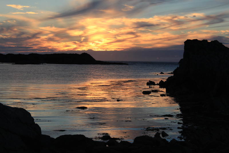
 Various Erris Photos